Ready to ramble? There are collections of walks around Chard, Hemyock, Stockland and Upottery, walks in the north eastern and south western Blackdown Hills. For guided walks take a look in our events calendar.

Please note: not all of our walks are listed on our new website yet, but we'll be adding more very soon!

Use the hashtag #blackdownramble to share and read about walks and rides in the Blackdown Hills.

21 - Walking routes found in the Blackdown HIlls AONB

Chard to Chaffcombe

Download PDF
Medium. Distance Distance: 4.5 miles (7 km)
An easy-to-follow walk through some attractive and interesting countryside. There is one hill to climb, but the subsequent view is outstanding. The route starts from the nature reserve car park at the end of Oaklands Road. One of six circular walks in and around Chard - walk 1.

An easy-to-follow walk through some attractive and interesting countryside. There is one hill to climb, but the subsequent view is outstanding. The route starts from the nature reserve car park at the end of Oaklands Road.

Useful info

View route in OS Maps

Difficulty: Moderate

Distance: 4.5 miles (7 km)

Total ascent: 165m (mainly Cricket Lane)

Route checked: January 2024

Getting there

Walk start/finish: Chard Reservoir car park.

Grid reference: ST 336 092

Nearest postcode: TA20 1HU

What3Words: lightly.unlimited.purses

Lat | Long: 50.880273 | -2.9437813

Parking:  Chard reservoir car park, Oaklands Avenue, TA20 1HU

Public transport:

Interesting things to look out for

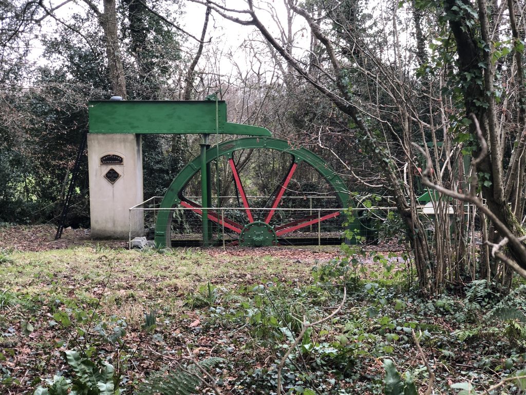
Chard Reservoir Local Nature Reserve and Chaffcombe Water Wheel.

Rest stops

Picnic bench at Anglers car park at the far end of Chard reservoir (just off route).

Benches in Chaffcombe Churchyard.

There is one eco-toilet for use located next to the Anglers car park. TA20 4AL The toilet is self-composting and therefore reduces the impact on the environment. There is no running water in the toilet, but hand sanitiser is available for use.

Nearest conventional toilet is in Bath Street Car park in the centre of Chard.

Challenges on route

Cricket Lane has a long steep incline.

Instructions

Cross the area of grass adjoining the car park to reach a lane. Turn right and walk along for about 150 meters. Take the footpath on the left, signed for Chaffcombe. Cross the field to a footbridge and stile. Continue across the next field and over a stile and stay ahead to another stile. Turn left on a wide track. Ignore a footpath option to the right, at the top of a rise, and follow the track with the reservoir increasingly nearby on your left.

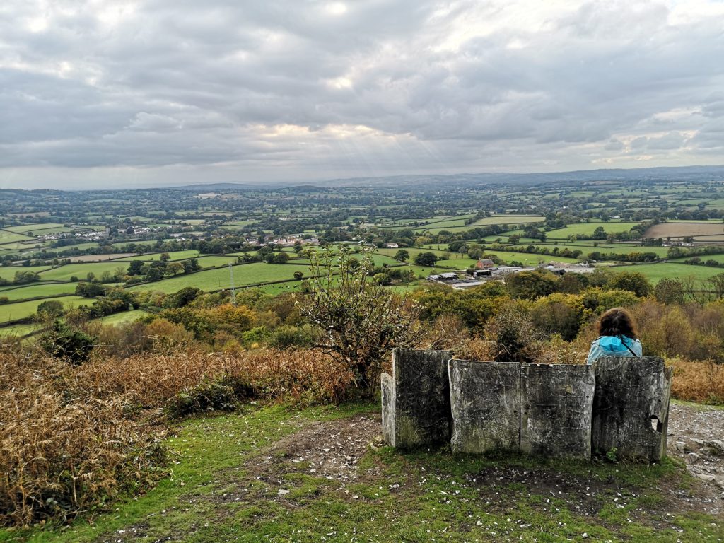
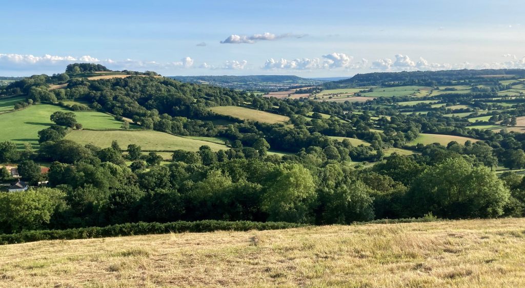
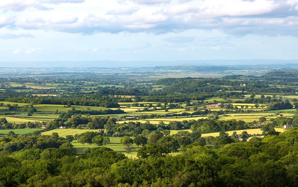
When the track meets a road, you turn right. After about 600 metres turn sharp left and climb steadily upwards to Sprays Hill. At the top, take the footpath on your right to follow around the edge of the wood which crowns the hill. If you have brought any refreshments with you, this would be a good place to enjoy it as the panoramic view is splendid. It takes in the Quantock Hills, the Brendon Hills, Ilminster and of course the Blackdown Hills and Chard.

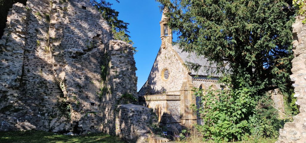
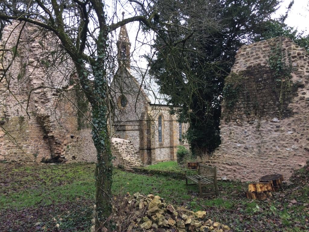
Continue between the gorse bushes to a stile. In the next field, with Chaffcombe House on your right, to footpath descends to a stile just to the left of the bottom right-hand corner. Head downhill through the copse, to a footbridge. Continue to another stile ahead and then follow the right-hand edge of the field to a lane. Turn right. You are soon in Chaffcombe village. Look for a handsome little medieval church and a totem pole carved and painted by a local artist, from a broken cedar branch from the churchyard.

At the war memorial turn left and follow the road ahead, ignoring the ‘No Through Road’ sign. You will see Avishayes over on your left. When you meet the end of the drive, take the turning on your right. This takes you through a small area of woodland. Turn right along the lane signed ‘Restricted Byway to Chaffcombe Road’. Very soon you will see the car park on your left. You could, if you with, divert across the field to the reservoir before you leave.

Information board - The Pound at Chaffcombe.

Information board – The Pound at Chaffcombe.
Photo: Jonathan Sladden

Full Page

Chard to Wambrook

Download PDF
Medium. Distance 5 miles (8 km)
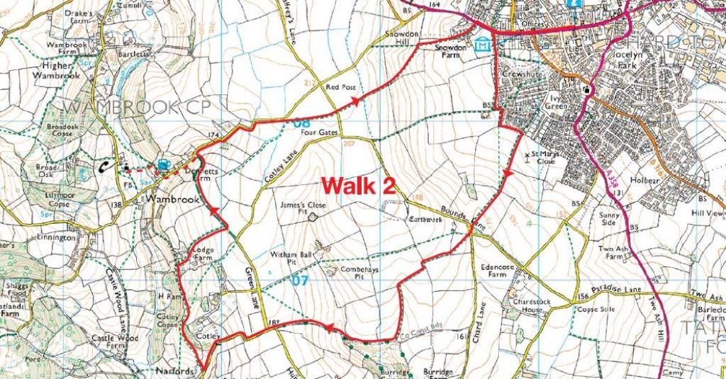
A constantly undulating walk through typical Blackdown Hills scenery. Most of the route is on footpaths and bridalways, with small sections of quiet lanes. One of six circular walks in and around Chard - walk 2

A constantly undulating walk through typical Blackdown Hills scenery. Most of the route is on footpaths and bridalways, with small sections of quiet lanes.

One of six circular walks in and around Chard – walk 2

Grid reference: ST326087

Nearest postcode: TA20 1EP

Full Page

Chard to Nimmer

Download PDF
Medium. Distance 5.5 miles (8.5 km)
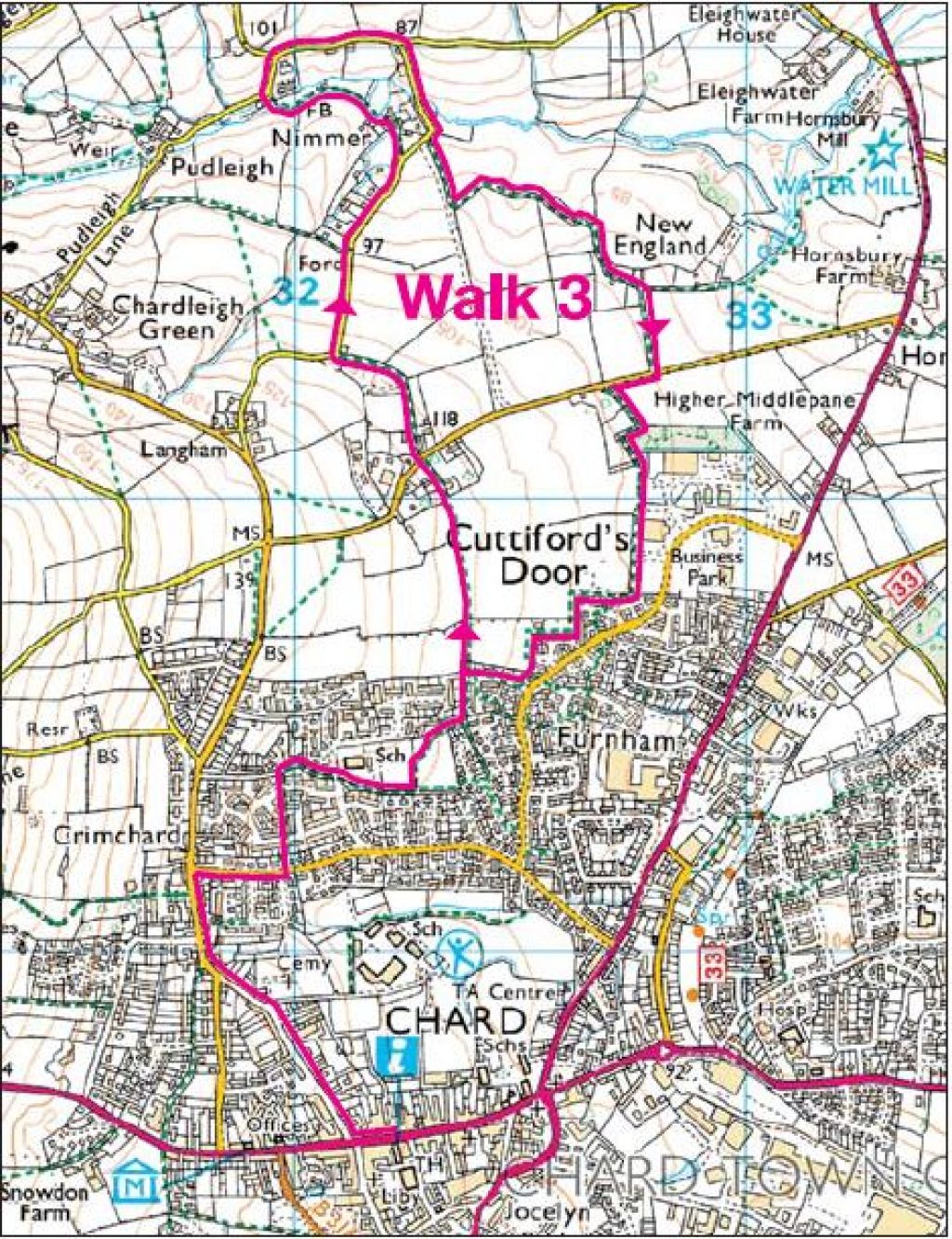
This route is fairly flat throughout and features a pleasant combination of town and country. One of six circular walks in and around Chard - walk 3  

This route is fairly flat throughout and features a pleasant combination of town and country.

One of six circular walks in and around Chard – walk 3

Grid reference: ST 326 087

Nearest postcode: TA20 1EP

Full Page

Combe St Nicholas to Whitestaunton

Download PDF
Hard. Distance 6.75 miles (11 kilometres)
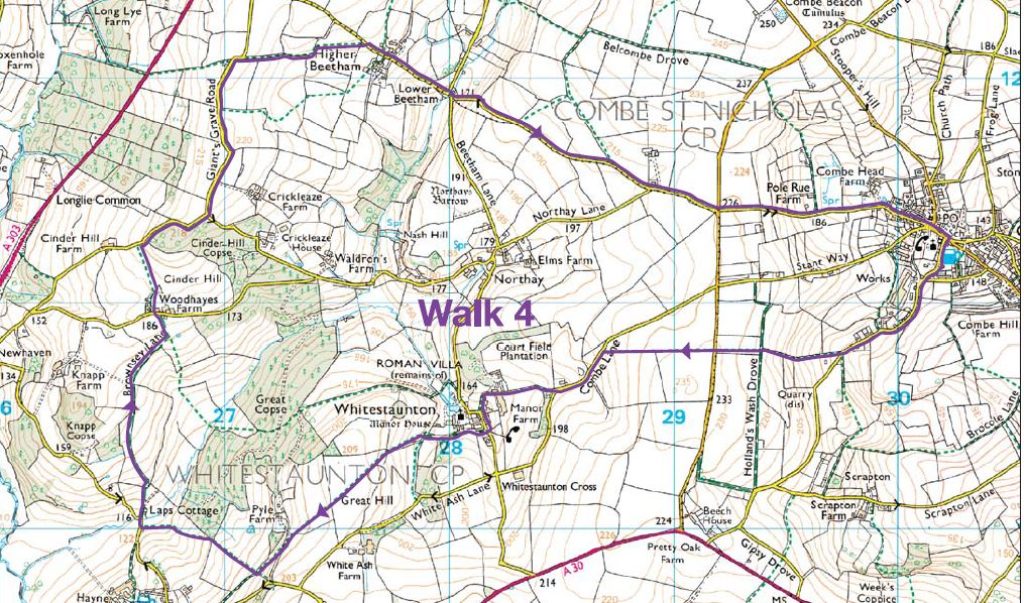
This triangular route, is reasonably demanding, but rewards the walker from start to finish with a range of delightful scenery and some superb wide views. Starts and ends at Combe St Nicholas. One of six circular walks in and around Chard - walk 4

This triangular route, is reasonably demanding, but rewards the walker from start to finish with a range of delightful scenery and some superb wide views. Starts and ends at Combe St Nicholas.

One of six circular walks in and around Chard – walk 4

Grid reference: ST303114

Nearest postcode: TA20 3NF

Full Page

Chard to Combe St Nicholas

Download PDF
Medium. Distance 7.5 miles (12 km)
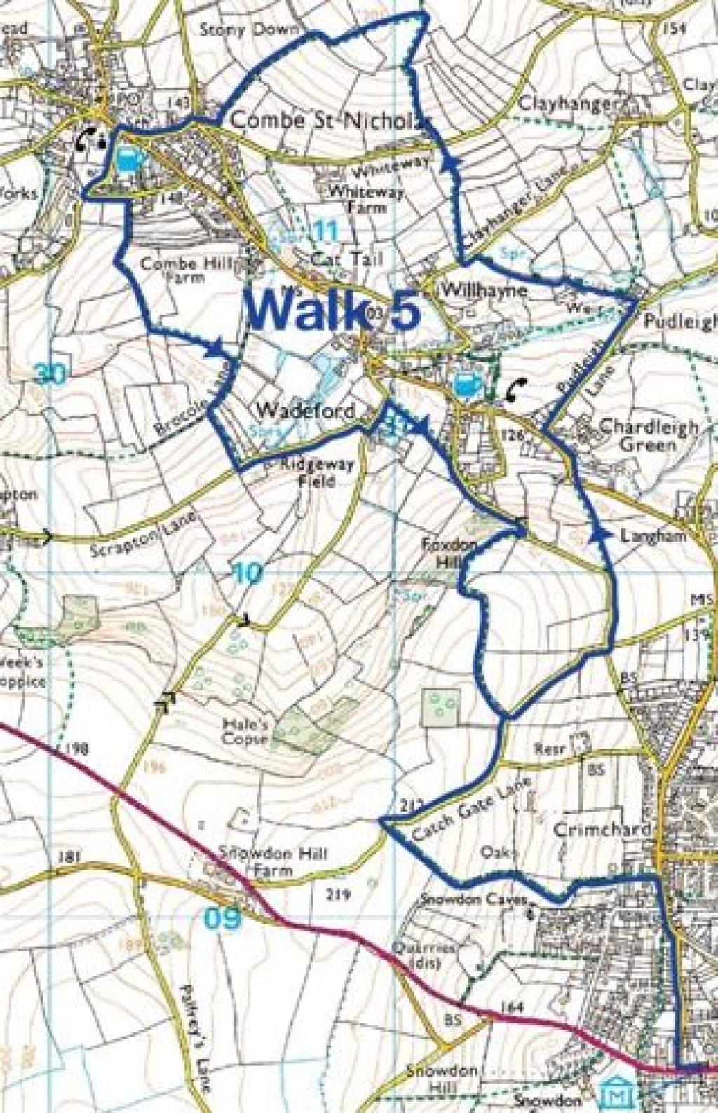
Please do not be put off by the length of this walk. It is an absolute pleasure, combining many footpaths and quiet lanes. The scenery and surroundings are attractive throughout and the hilly sections are not too demanding. The route is described from the starting point of Chard Museum. One of six circular walks in and around Chard - walk 5

Please do not be put off by the length of this walk. It is an absolute pleasure, combining many footpaths and quiet lanes. The scenery and surroundings are attractive throughout and the hilly sections are not too demanding. The route is described from the starting point of Chard Museum.

One of six circular walks in and around Chard – walk 5

Grid reference: ST319085

Nearest postcode: TA20 1QW

Full Page

Chard to Chardstock

Download PDF
Medium. Distance 6.5 miles (10.5 kilometres)
The walk to Chardstock is delightful and contains a wide variety of scenery. The return, on quiet lanes, provides good views in all directions. The route is described from the starting point of St Mary's Church, Chard. One of six circular walks in and around Chard - walk 6

The walk to Chardstock is delightful and contains a wide variety of scenery. The return, on quiet lanes, provides good views in all directions.

The route is described from the starting point of St Mary’s Church, Chard.

One of six circular walks in and around Chard – walk 6

Grid reference: ST 324 083

Nearest postcode: TA20 2AS

Full Page

Hemyock to Culmstock Beacon

Download PDF
Medium. Distance 11km (7 miles), or shorter option 7km (4.5 miles)
From the edge of Hemyock, through Culm Davey and Blackdown Common, on to Culmstock Beacon and back. The best part of the walk is from Whitehall. One of six circular walks in and around Hemyock- walk 1

Starting from Millhayes as described, this walk is about 11km (7 miles) long. The walk is from the edge of Hemyock, through Culm Davey and Blackdown Common, on to Culmstock Beacon and back. The best part of the walk is from Whitehall; if you start from here, the walk is just over 7km (4.5 miles). There is a place to park cars on Withy Lane about 0.5km west of Whitehall.

One of six circular walks in and around Hemyock- walk 1

Grid reference: ST139139

Nearest postcode:  EX15 3SJ

Full Page

Hemyock to Wellington Monument

Download PDF
Hard. Distance 9km (5.5 miles)
A strenuous 9km (5.5 mile) walk, well rewarded with lovely views of the Culm Valley looking west and spectacular views of the Quantocks and beyond from the Wellington Monument. One of six circular walks in and around Hemyock- walk 2

A strenuous 9km (5.5 mile) walk, well rewarded with lovely views of the Culm Valley looking west and spectacular views of the Quantocks and beyond from the Wellington Monument.

One of six circular walks in and around Hemyock- walk 2

Grid reference: ST139139

Nearest postcode: EX15 3SL

Full Page

Hemyock to Ashculme and Clayhidon

Download PDF
Easy. Distance 7.5 km (4.5 miles)

A fairly gentle 7.5 km (4.5 mile) walk along quiet lanes and tracks, with an opportunity to visit a nature reserve and a pub.

One of six circular walks in and around Hemyock- walk 3

A fairly gentle 7.5 km (4.5 mile) walk along quiet lanes and tracks, with an opportunity to visit a nature reserve and a pub.

One of six circular walks in and around Hemyock- walk 3

Grid reference: ST139139

Nearest postcode: EX15 3SL

Full Page

Hemyock, Madford Valley and Dunkeswell Abbey ruins

Download PDF
Medium. Distance 6.5 km (4 miles)
A 6.5 km (4 mile) walk with lovely views of the secluded Madford Valley and a visit to the ruins of a Cistercian abbey. One of six circular walks in and around Hemyock- walk 4

A 6.5 km (4 mile) walk with lovely views of the secluded Madford Valley and a visit to the ruins of a Cistercian abbey.

One of six circular walks in and around Hemyock- walk 4

Grid reference: ST137132

Nearest postcode: EX15 3RF


Full Page

Hemyock to Owleycombe

Download PDF
Easy. Distance 4.5 km (3 miles)
A fairly gentle 4.5 km (3 mile) walk with lovely views across to Culmstock Beacon and beyond. This walk can be linked to the Hemyock to Culm Valley route (walk 6) to give a combined length of 7km (4.5 miles). One of six circular walks in and around Hemyock- walk 5

A fairly gentle 4.5 km (3 mile) walk with lovely views across to Culmstock Beacon and beyond. This walk can be linked to the Hemyock to Culm Valley route (walk 6) to give a combined length of 7km (4.5 miles).

If you’re walking with young children, check out our Colour Spotting – Explore and Create video for an idea of what you can do along the way.

One of six circular walks in and around Hemyock- walk 5

Grid reference: ST137132

Postcode: EX15 3RF


Full Page

Hemyock and along the Culm Valley

Download PDF
Easy. Distance 4.5 km (3 miles)
A gentle 4.5 km (3 mile) walk crossing several braids of the river Culm. This walk can be linked to the Hemyock to Owleycombe route (walk 5). One of six circular walks in and around Hemyock- walk 6

A gentle 4.5 km (3 mile) walk crossing several braids of the river Culm. This walk can be linked to the Hemyock to Owleycombe route (walk 5).

One of six circular walks in and around Hemyock- walk 6

Grid reference: ST127128

Nearest postcode: EX15 3RS

Full Page

Godford Cross to a place that belongs to Canada!

Download PDF
Medium. Distance Distance: 6 miles (10 km)
Setting off from Godford Cross, just west of Awliscombe, along a picturesque valley road. Climb into the hills to enjoy the views before returning on a scenic bridle path. One of a series of six walks in the south western Blackdown Hills – Walk 1

This walk starts in a lovely valley road and climbs into the hills, before returning on a scenic bridle path.

Enjoy delightful views across to Hembury Hillfort and you can pay a visit to Wolford Chapel along the way.

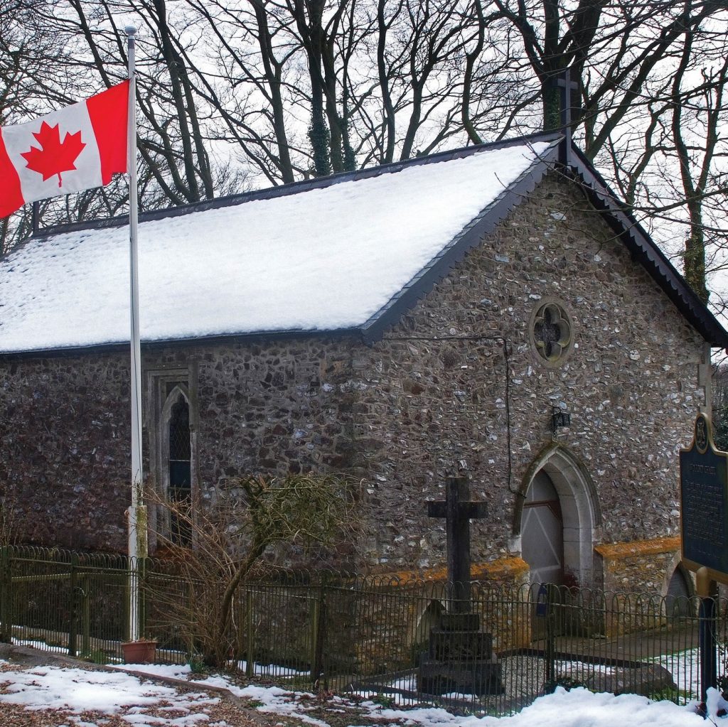
Wolford Chapel, burial place of John Graves Simcoe, first Lieutenant Governor of Upper Canada, was donated to the people of Ontario in 1966.  Within the Chapel there area fine examples of Jacobean workmanship.

Park just off the A373 at Godford cross, just west of Awliscombe.

One of a series of six walks in the south western Blackdown Hills – Walk 1

Grid reference: ST131023

Nearest postcode: EX14 3PP

Full Page

Blackborough – following the footsteps of the whetstone miners

Download PDF
Medium. Distance 5 miles (8 km)
A lovely varied walk passing the site of some of the whetstone mines and a chapel where many miners worshipped. There are two steady uphill sections and some superb views.

A lovely varied walk passing the site of some of the whetstone mines and a chapel where many miners worshipped. There are two steady uphill sections and some superb views.

Park at the northern end of Blackborough in the wide area of road along the wall of the former churchyard.

One of a series of six walks in the south western Blackdown Hills – Walk 2

Grid reference: ST095093

Nearest postcode: EX15 2HJ

Full Page

Broadhembury and North Hill

Download PDF
Medium. Distance 4.5 miles (7 km)
A superb walk with magnificent views and the special atmosphere of this picturesque village. Starts with a climb, then a flat section and finally a good downhill stretch.

A superb walk with magnificent views and the special atmosphere of the picturesque village of Broadhembury. Starts with a climb, then a flat section and finally a good downhill stretch.

Broadhembury is a well-preserved medieval estate village dating from the 13th century, although most of the existing houses date from the late 16th and early 17th centuries. The village has changed very little over the centuries.

St Andrews, Broadhembury’s parish church, was consecrated in 1259. It has a tower dating from 1480. Church Gate is probably the oldest house. In is time it served as the priest’s house, a poor house, a reading room and a schoolroom. There is also an Art Nouveau house, opposite the church, which was built at the turn of the 20th century.

The walk will take you from Broadhembury up North Hill to the Devon and Somerset Gliding Club field, with a chance to enjoy views across to Hembury Hillfort and back towards the village.

Refreshments are available at The Drewe Arms and the local shop and tea room in the old vicarage.

Parking in the village centre.

One of a series of six walks in the south western Blackdown Hills – Walk 3

Grid reference: ST101048

Nearest postcode: EX14 3ND

Full Page

Stockland, Happy Valley & the Umborne Brook

Download PDF
Easy. Distance 2 miles (3.2 km) - approx 1 hour
A walk from the westerly edge of Stockland parish along the old Devon-Dorset border. Enjoy delightful sheltered woodland and a fast-flowing stream. One of a series of six walks near Stockland – Walk 1

This walk takes you from the westerly edge of Stockland parish, along the old Devon-Dorset border. Enjoy delightful sheltered woodland and a fast-flowing stream.

The route is mostly flat, with some steps and stiles. Some short sections can be wet.

Access the walk from Broadhayes or Ridge Cross, off the Stockland Seven Mile Straight.

There is some very limited parking near the start of the walk at the bottom of the hill. Alternatively park on the hill and walk down to the bridge.

Grid reference: ST212021

Nearest postcode: EX14 9HE

One of a series of six walks near Stockland – Walk 1

Full Page

Horner Hill and the English Channel

Download PDF
Hard. Distance 4 miles (6.5 km) – approx 2 hours
Stroll through the turbary on Horner Hill to enjoy resplendent views of the Corry valley and beyond to the English Channel at Axmouth. One of a series of six walks near Stockland – Walk 2

This walk, on the easterly side of the parish close to Dalwood village, takes a circular route on paths and country lanes. Stroll through the turbary on Horner Hill to enjoy resplendent views of the Corry Valley and beyond to the Channel at Axmouth.

There is also a chance to visit Beckford Bridge on the River Yarty — a packhorse bridge long used by travellers and livestock before the days of vehicles.

Some flat sections but some fairly steep ascents and descents — some sections can be muddy.

Grid reference: ST251025

Nearest postcode: EX14 9EX

One of a series of six walks near Stockland – Walk 2

Full Page

Wellington Monument meander

Download PDF
Easy. Distance 1.5 miles
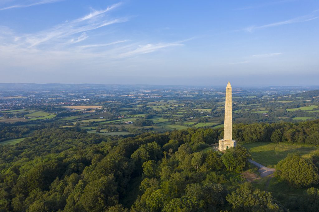
If you’re looking for somewhere to walk which isn’t too strenuous, a safe bet is the approach to Wellington Monument. The tree-lined walk from the carpark to Wellington Monument is along a level gravel pathway. The complete walk is approximately three-quarters of a mile each way, approximately 15 minutes each way. At the end, you’re rewarded with a view of this impressive monument to the Duke of Wellington.

This striking monument stands as a tribute to the Duke of Wellington and his victory at the Battle of Waterloo. Standing at 175 feet, it is the world’s tallest three-sided obelisk! The Monument is surrounded by a wildlife-rich meadow. On fine days there is ample space around the Monument to enjoy a picnic or fly a kite.

Download Wellington Monument Meander walk map and instructions [pdf]

Walk options

There are several ways in which you can walk to and around the Wellington Monument, shown on our downloadable map:

Easy: 1 mile (1.6km)

Walk from the car park to the Monument and back, along the level gravel pathway lined with beech trees.

The complete walk is approximately 15 minutes each way. At the end, you’re rewarded with a view of this impressive monument.

There is the occasional bump or dip in the path but no steps, styles or steep gradients.

There are around 30 parking spaces close to the start of the walk.

Slightly more challenging: 2 miles (3.2 km)

At the Monument, take the steps down to the right, loop round anti-clockwise through the woods, and climb the steep slope back up.

Walk from Wellington town

Footpaths from Wellington town centre will take you all the way to the Monument via Wellington Castle Fields, a Somerset Wildlife Trust nature reserve. Please take care as you cross the A38.


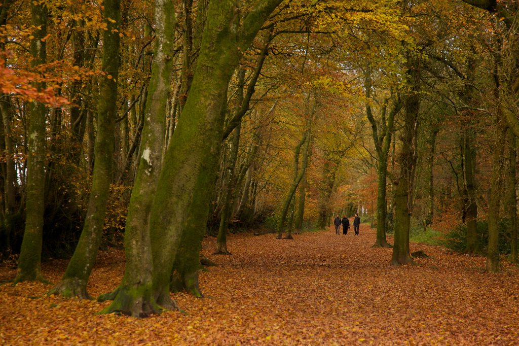
The walk is particularly beautiful in the autumn, when the leaves turn all shades of brown, red and gold. Very windy days are best avoided as it can get quite blustery up by the Monument. In the winter, be aware that the path can get rather muddy.

The information boards are easy to read and include details of the Monument’s history and a map showing nearby walks.

Grid Reference: ST142167 | Nearest postcode: TA21 9PA

Find out more about what to see and do at the Wellington Monument

Full Page

Staple Hill Easy Access Trail walk

Download PDF
Easy. Distance 0.5 miles (0.8km)
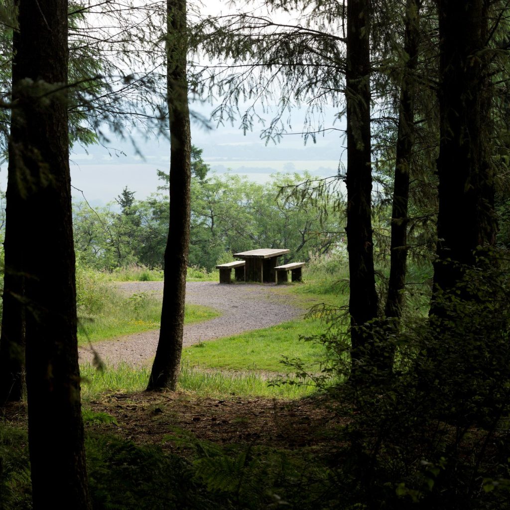
As the name suggests, Staple Hill Easy Access Trail allows everyone, including those with limited mobility, to enjoy the beautiful countryside the Blackdown Hills AONB has to offer. The viewpoints have picnic benches and seating and the kissing gates are big enough for wheelchairs and pushchairs. There are also no steep gradients and the wide compacted path surface makes pushing wheelchairs and pushchairs easy.

As the name suggests, Staple Hill Easy Access Trail allows everyone, including those with limited mobility, to enjoy the beautiful countryside the Blackdown Hills AONB has to offer.

Download Staple Hill Easy Access Trail map and instructions [pdf]

This is the highest point in the Blackdown Hills and from here you can see spectacular views across the Vale of Taunton. On a clear day you can see all the way to Wales!

Staple Hill is part of the Forestry England woodlands and one of the points on the Staple Fitzpaine Herepath.

The Easy Access Trail is a loop walk of 800m, starting from the car parking area and taking in two viewpoints. The trail has been designed and built to national ‘all ability’ access standards and is suitable for disabled access, so it is easy for everyone to use.

The viewpoints have picnic benches and seating and the kissing gates are big enough for wheelchairs and pushchairs. There are also no steep gradients and the wide compacted path surface makes pushing wheelchairs and pushchairs easy.

Grid Reference: ST247160 | TA20 3RA

More about Staple Hill Easy Access Trail on the Forestry England website

Full Page

Valleyheads Way

Download PDF
Medium. Distance 12 miles (19 km)
This 12-mile walk takes you from Hemyock to Staple Hill, along public footpaths and quiet country lanes. The route skirts the valley sides of the Culm, Otter and Yarty rivers, the three main rivers of the Blackdown Hills National Landscape.
The 12-mile Valleyheads Way walk takes you from Hemyock to Staple Hill, along public footpaths and quiet country lanes. The route skirts the valley sides of the Culm, Otter and Yarty rivers, the three main rivers of the Blackdown Hills National Landscape.

It will take the average walker around six hours to complete, covering varied terrain including some muddy and stony paths and some steep ascents.

You’ll need to wear waterproof walking boots and bring with you warm, rainproof clothing, plenty of water and suitable refreshments.

We recommend that you use the OS Explorer Map 128 (Blackdown Hills) for reference. The route is waymarked throughout and can be followed in either direction (although these instructions are from the Hemyock end).

Parking: there is limited on-street parking at Hemyock and a public car-park at Staple Hill.

Grid reference: ST136132

Nearest postcode: EX15 3RG

What3Words: stiletto.according.dented

Valleyheads Way Blackdown Hills AONB


Full Page

Otterhead lakes walk

Download PDF
Easy. Distance Approximately 1 mile (1.6km)
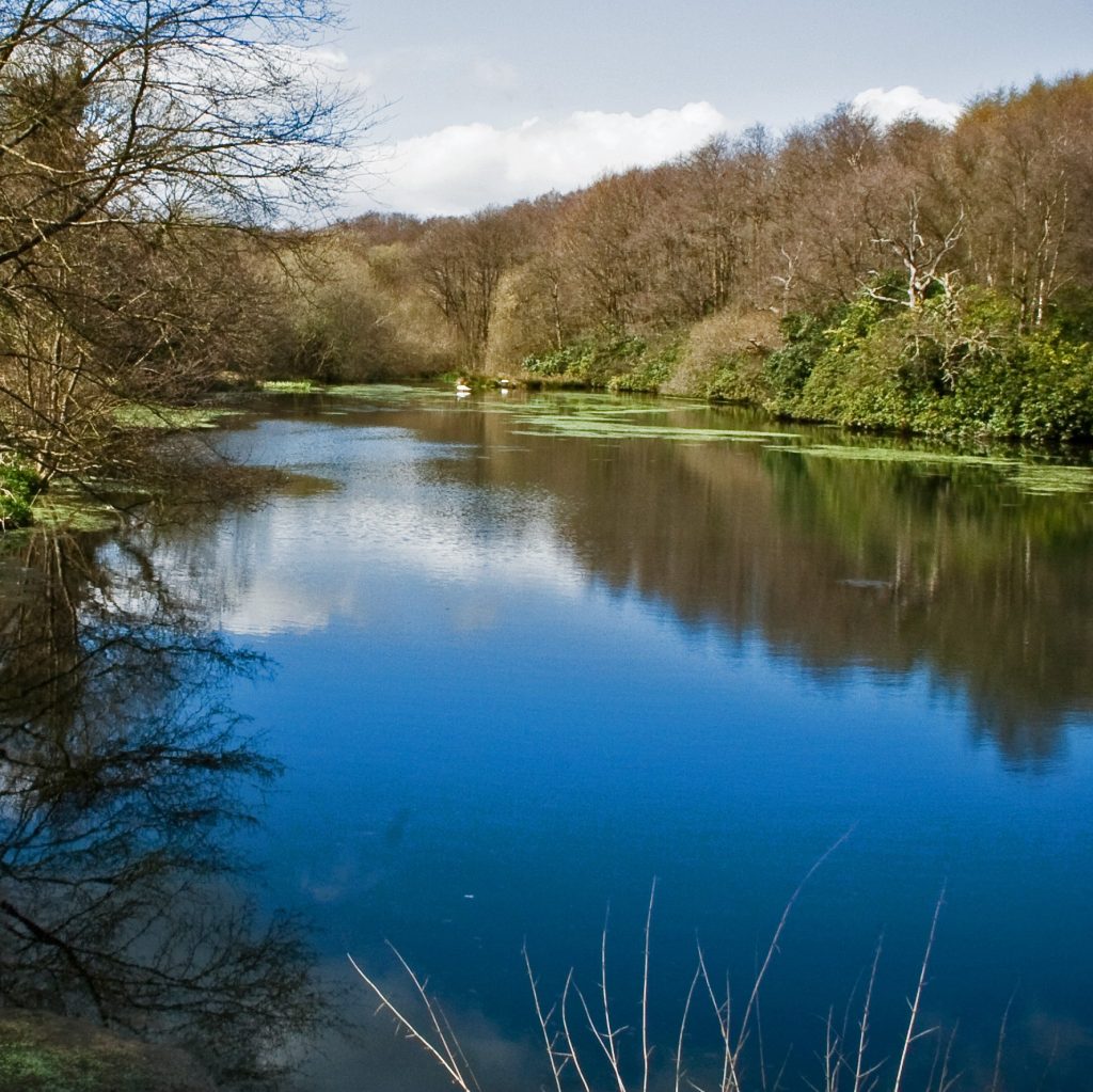
Otterhead Lakes is a beautiful nature reserve on the site of a former Victorian estate. This circular walk will take you around the various semi-natural habitats including wet woodland, dry deciduous woodland, grassland, and freshwater streams.

Otterhead Lakes is a beautiful nature reserve on the site of a former Victorian estate. This circular walk will take you around the various semi-natural habitats including wet woodland, dry deciduous woodland, grassland, and freshwater streams.

Download Otterhead Lakes walk map and instructions [pdf]

Dormice, badgers, and bat species live in the woodland. The lakes and streams support otters and birds including kingfishers, dippers and wagtails. There are signs that beavers are making use of the reserve too!

Many birds nest on the ground here, so please keep your dog on a lead.

The route is mostly flat, although there is a gradual slope from the car park down to the lakes and a steep section of a few metres half-way round. Bear in mind that some of the pathways are a little bumpy and, at times, can get quite muddy.

Grid Reference: ST22514 | Nearest postcode: TA3 7EF
Loop walk approximately 1 mile (1.6km)

Visit Otterhead Estate and Lakes website for more information.

Full Page